From The Ancient Crosses of Lancashire by Henry Taylor:
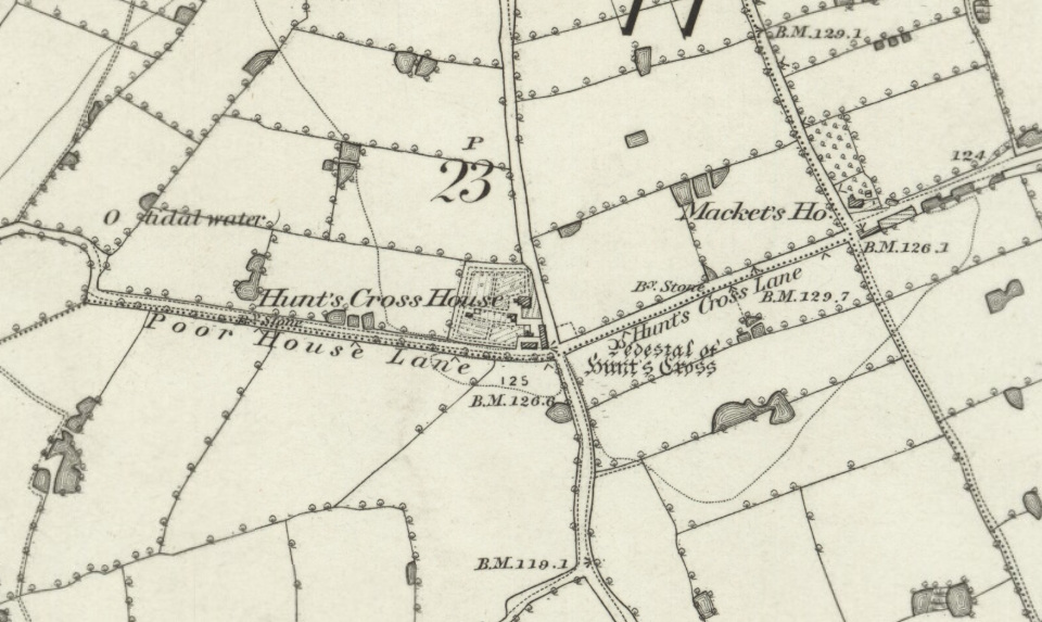
The words “pedestal of stone cross” occur on the 1848 six-inch ordnance map at “Hunt’s Cross,” close to Hunt’s Cross Station, at the intersection of Hunt’s Cross Lane and Sandy Lane, two miles inland from the river Mersey. The words “Hunt’s Cross House” occur on the map close to the site of the cross. Mr. Cox writes, 1895, that the remains of this cross consist of a massive square stone socket lying by a barn at the cross-roads near the station. The words “Cross Hillocks” and “Cross Hillock’s Farm” occur at the meeting of roads three miles east from Much Woolton Church. An interesting history of Garston from the pen of Mr. E.W. Cox is printed in the Transactions of the Historic Society of Lancashire and Cheshire for 1888, with pictures of the village and crosses as they existed in the year 1850. At that date Garston was an old-fashioned fishing village near the Otter’s Pool, on the north bank of the Mersey, but of late years everythying has been changed by the formation of the docks and the advent of various manufacturing industries.
Image: Ordnance Survey map of Hunt’s Cross, c1842. Reproduced with the permission of the National Library of Scotland
