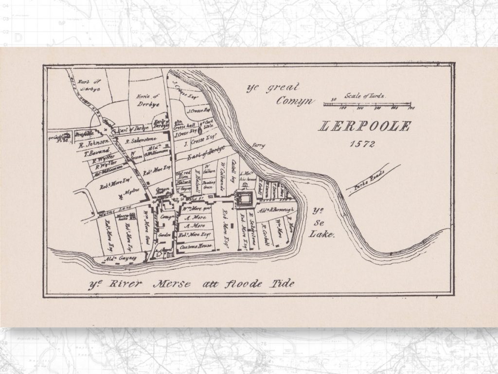
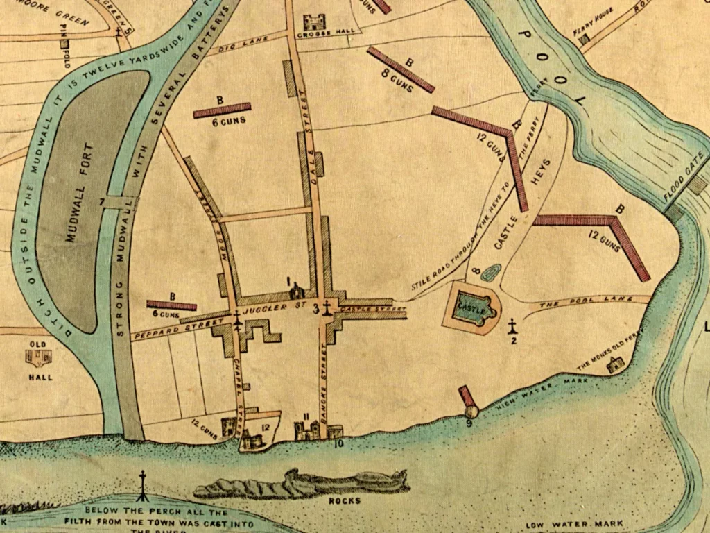
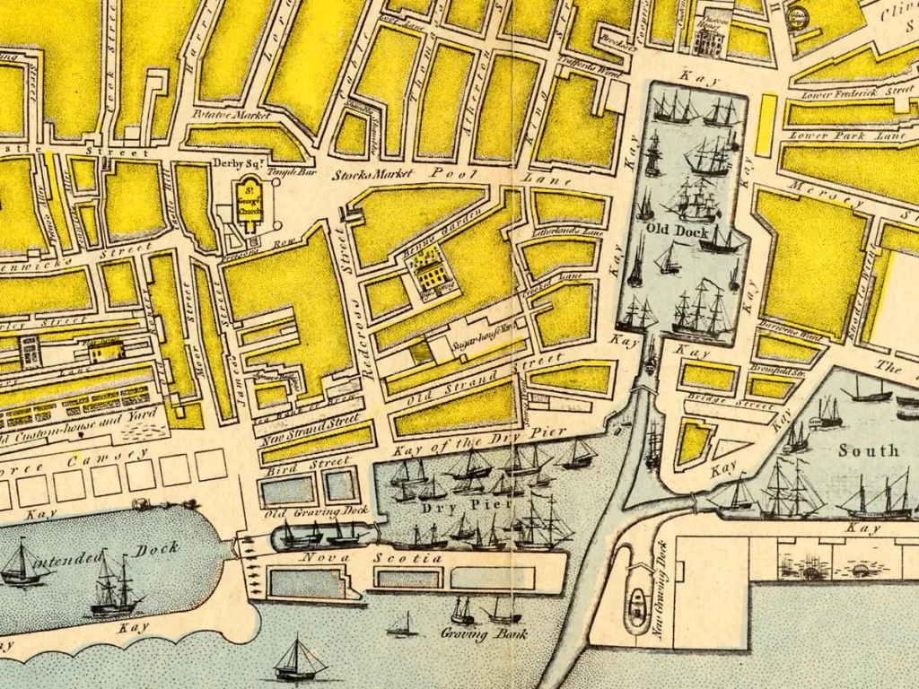
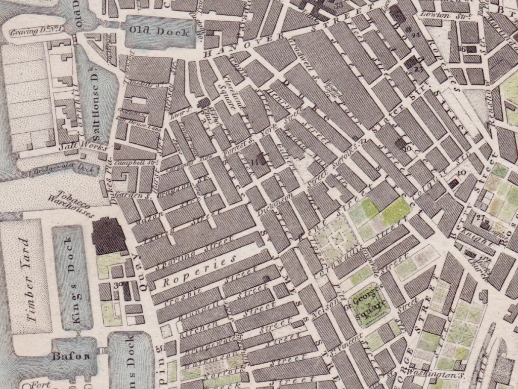
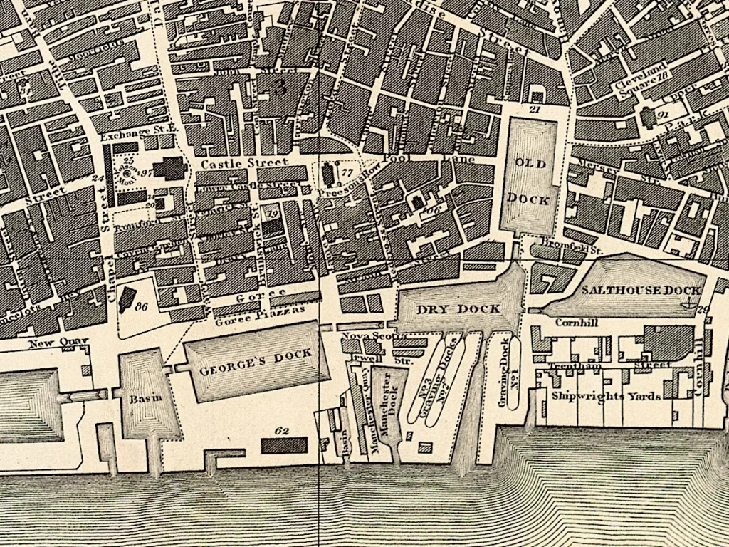
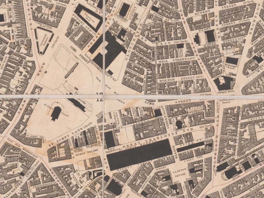
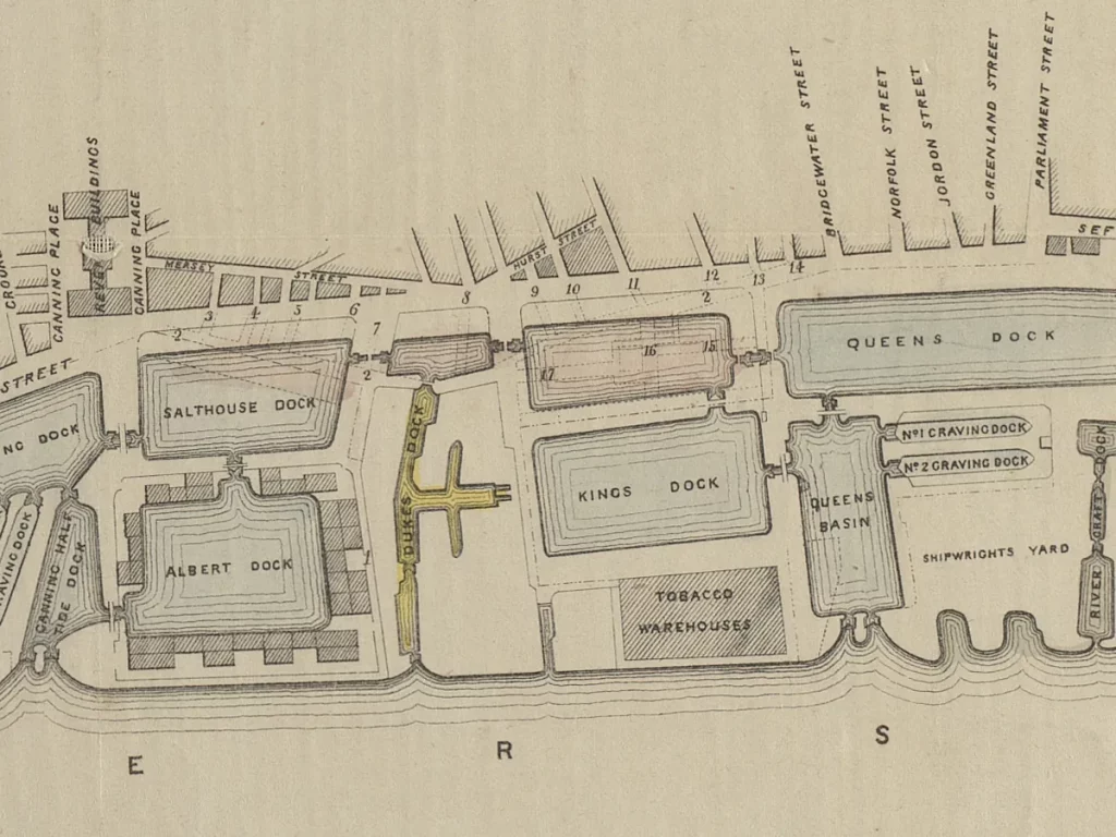
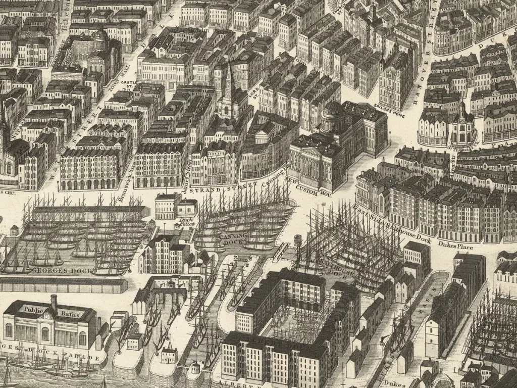
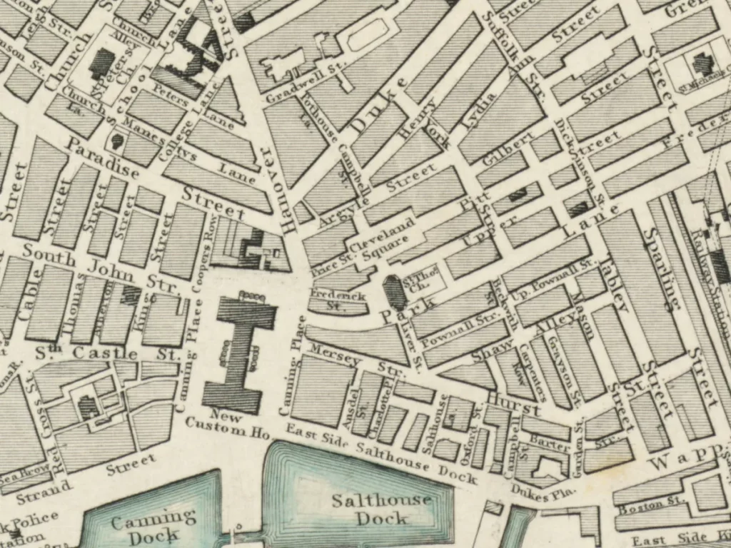
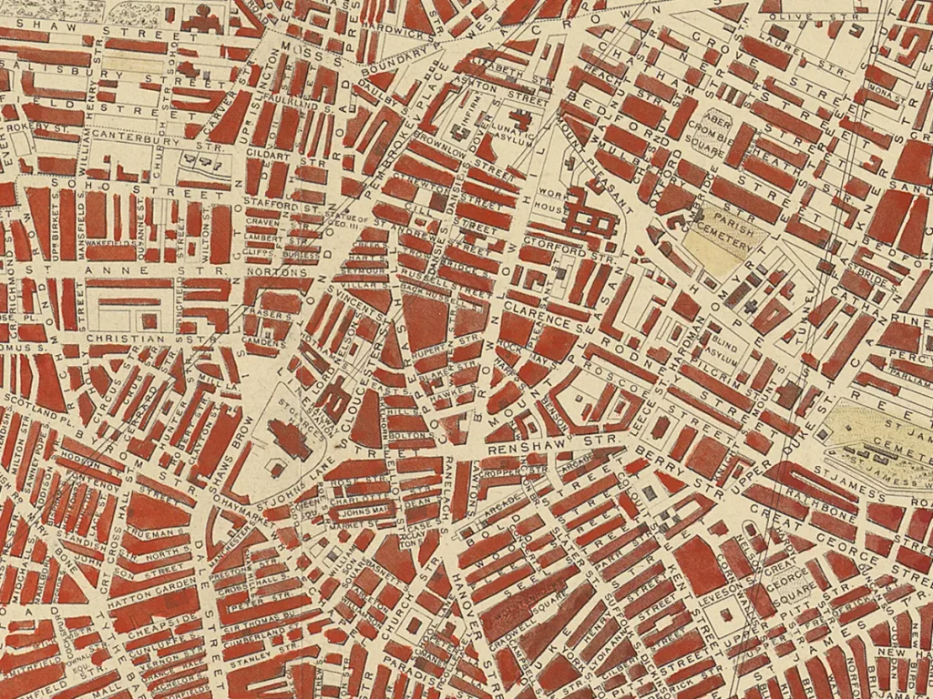
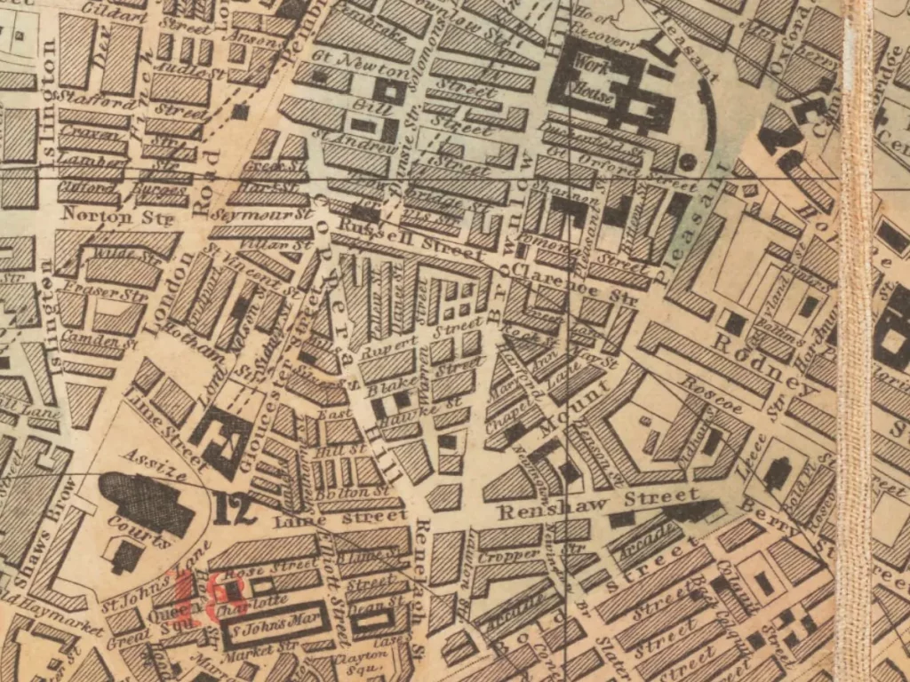
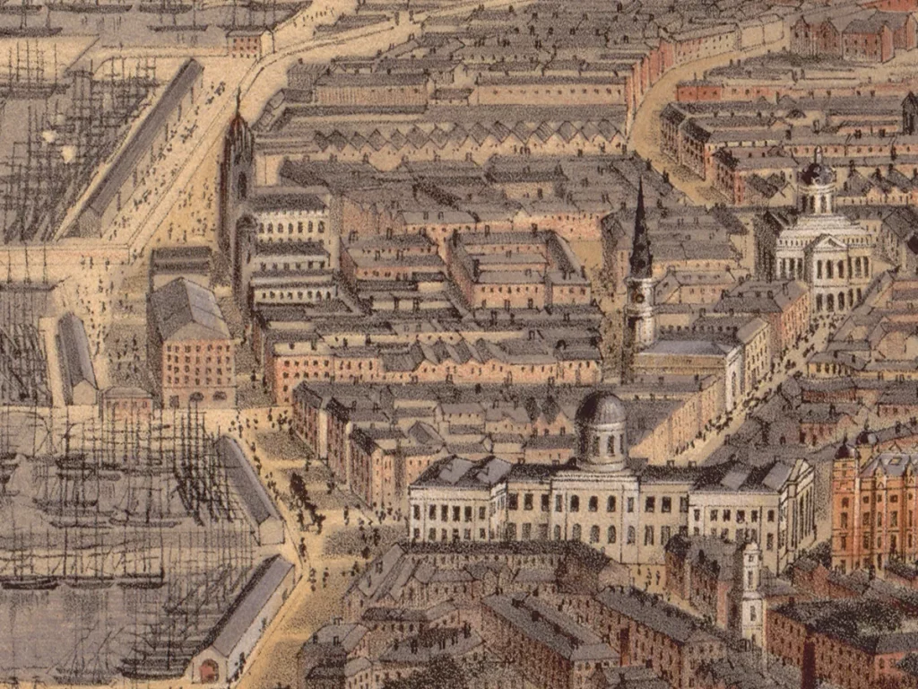
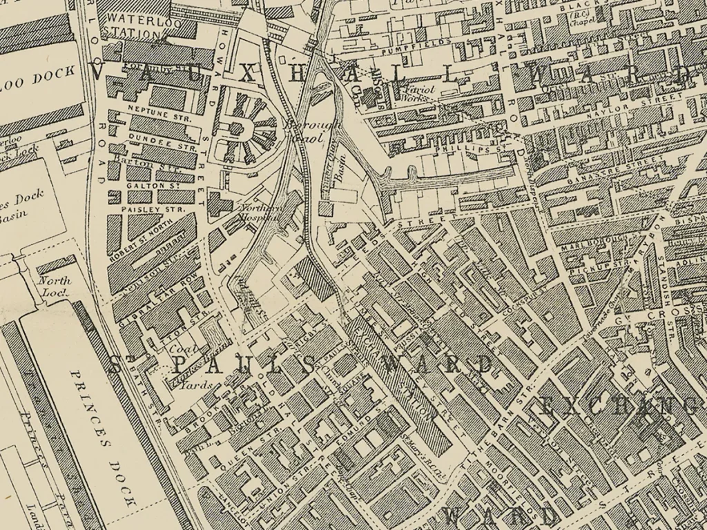
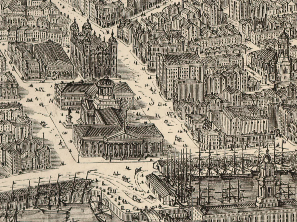
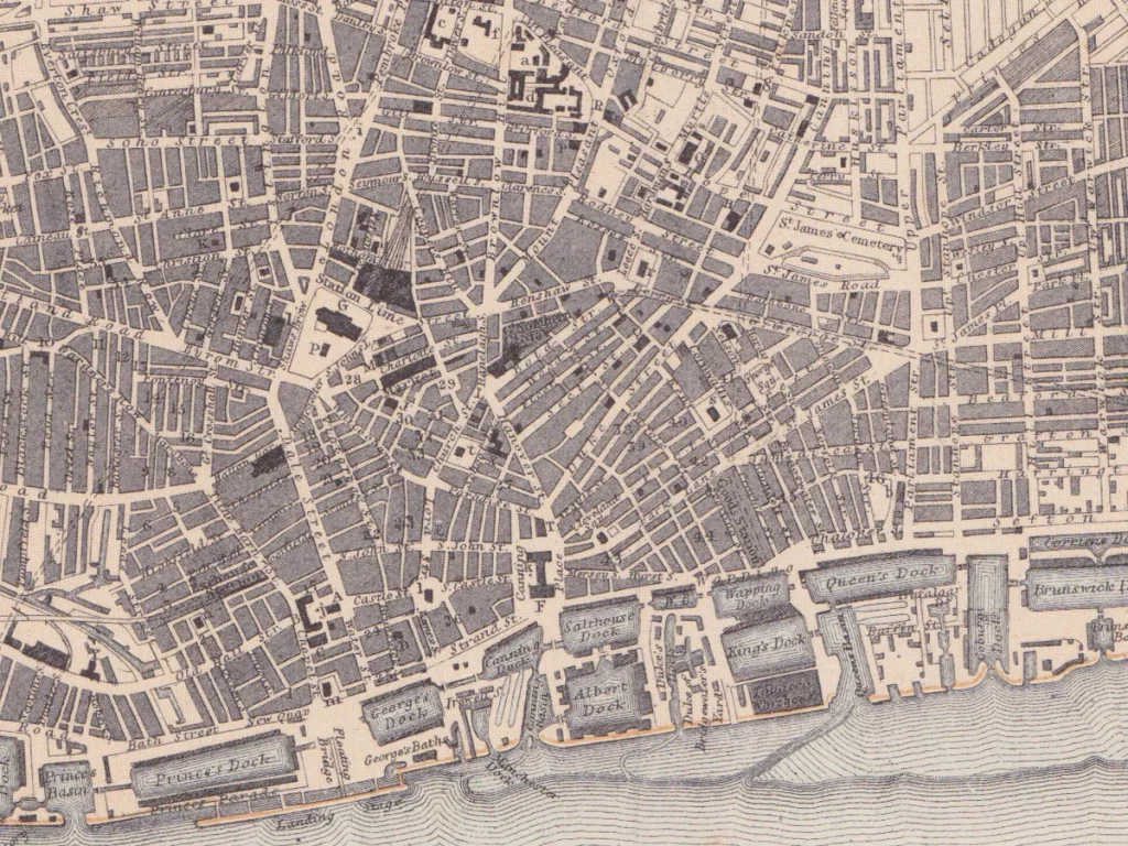
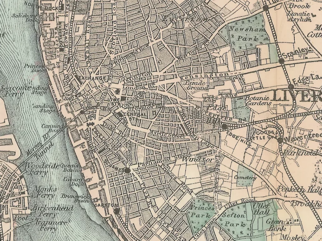
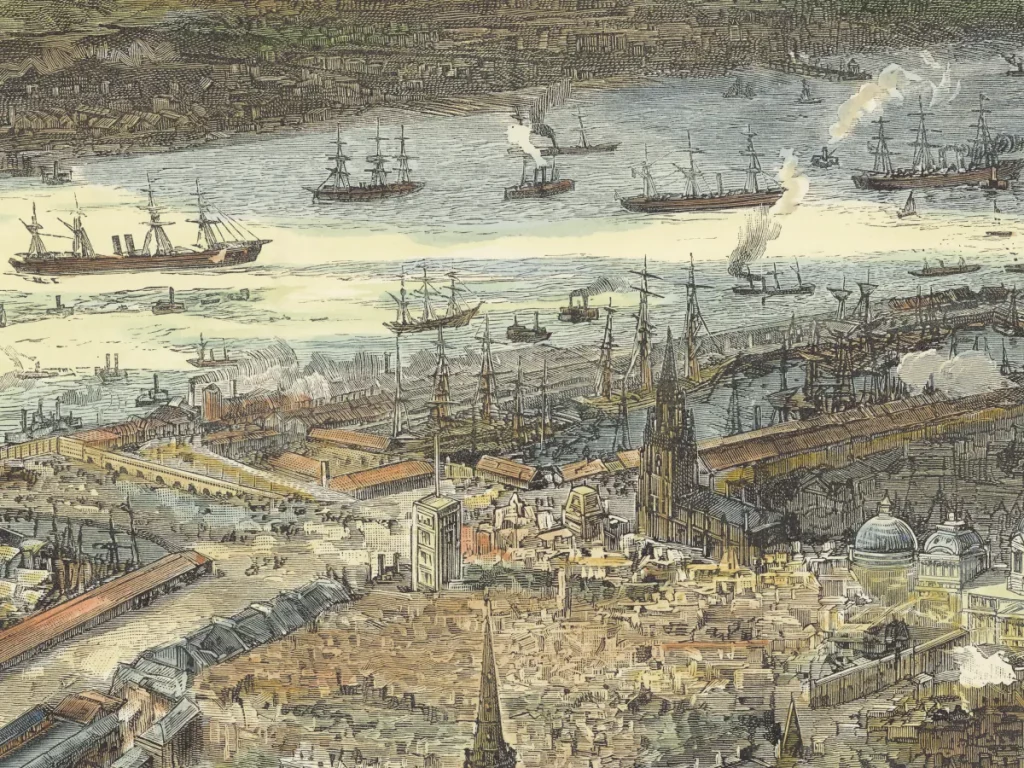
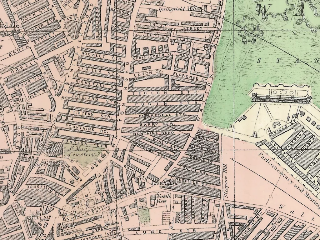
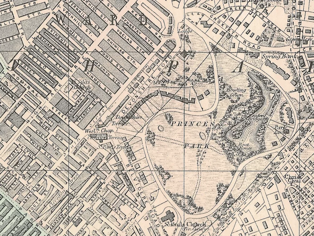
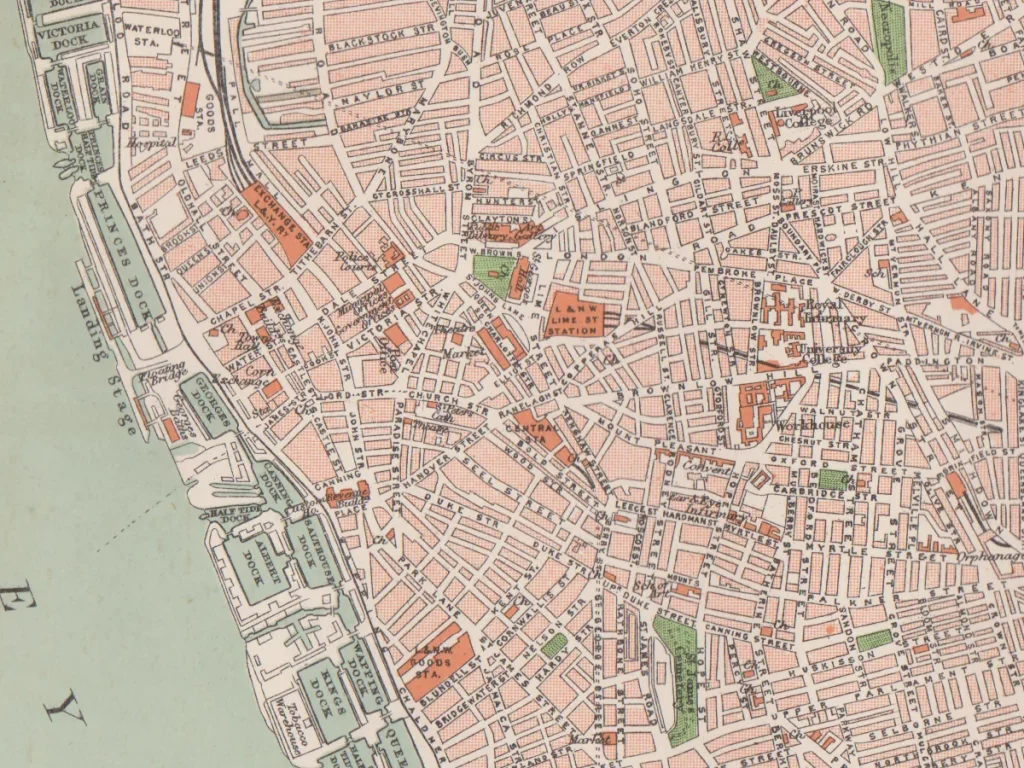
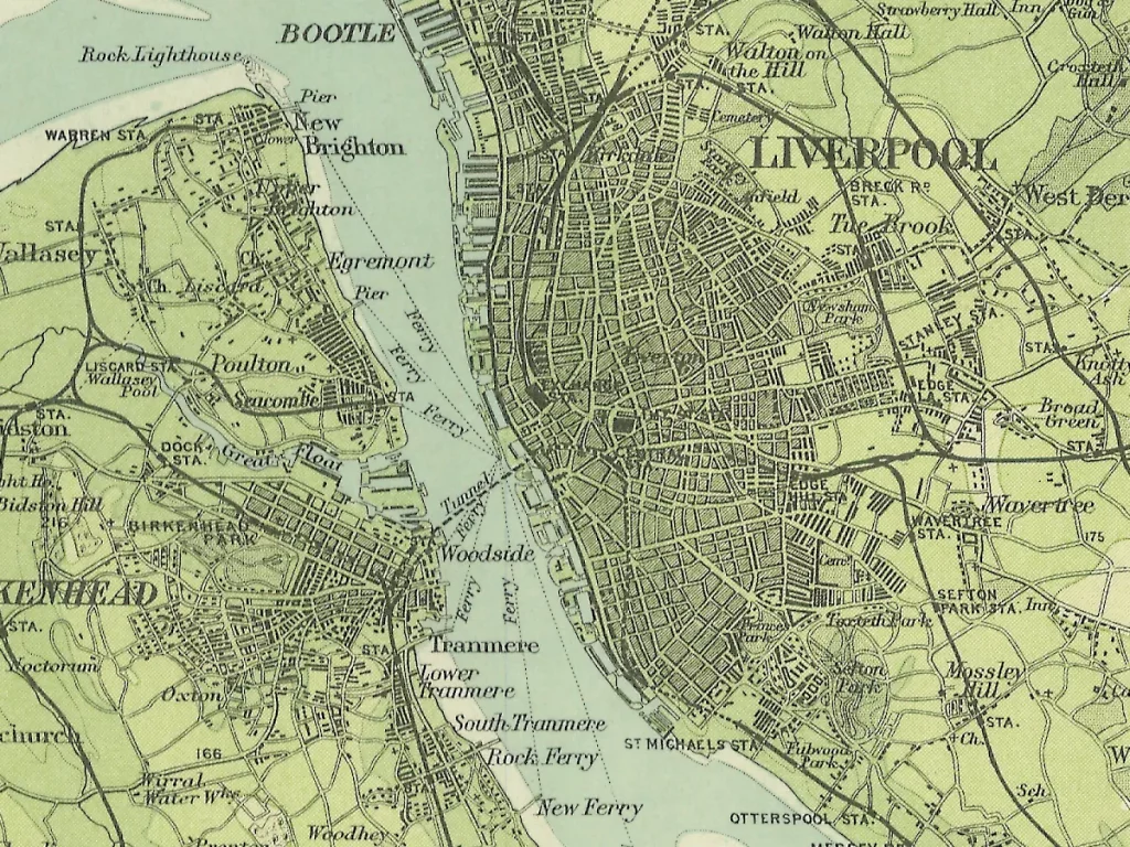
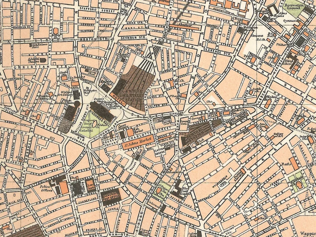
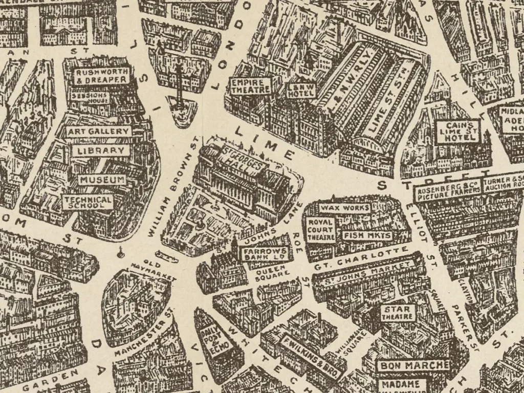
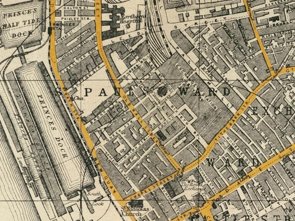
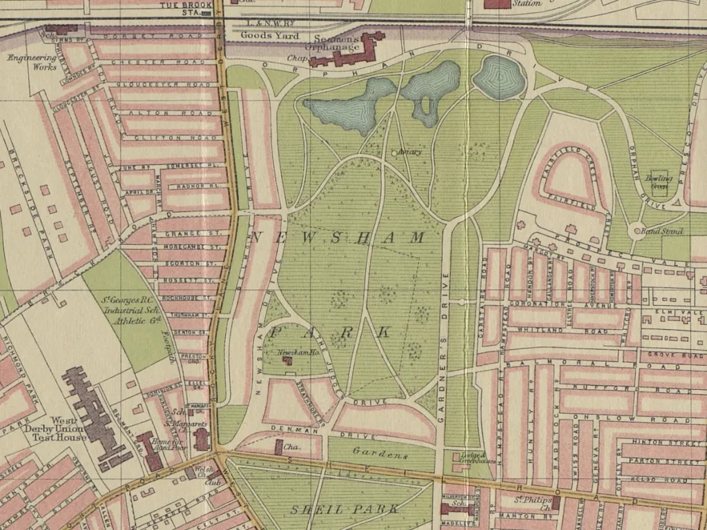
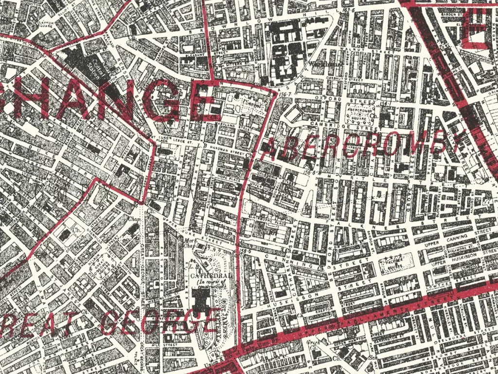
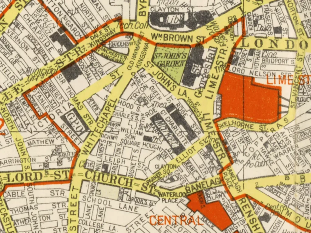
As a large city, Liverpool has seen a great many maps and plans made of it. Some of these maps show the wider area around the city. They may include areas as far afield as North Wales or Manchester, Lancaster or Chester.
Old maps are a great way to research the history of a place. They record changes in the landscape, like long-gone roads or new areas of houses for a growing population. Some show a familiar Liverpool, but look closer and you’ll see all kinds of details that you may have missed. I recommend looking at some places you know well, such as the parks and streets you knew as a child. See if you can spot your old haunts!
Don’t forget to check out the Interactive Maps page. It has modern maps with historic features laying out tthe things you can see in the landscape today. There’s also the History Map which shows the locations of many of the posts on this very site.
There are other maps dotted around the Internet, usually on national archives websites:
- A Plan of Liverpool, with the environs, Bibliothèque Nationale de France, accessed 16th October 2025.
- Map of Liverpool and its Environs (Southampton, 1874-1893), British History Online, accessed 16 October 2025. An excellent, very detailed map.
- ‘Sheet 106‘, in Map of Lancashire (Southampton, 1846-1873), British History Online, accessed October 16, 2025. Not as detailed as the above map, and not as nicely scanned, but still of interest.
- Lancashire Old Maps, Cartophilia, accessed 16th October 2025. A huge list of Lancashire maps, though some of the links are now broken since they went through a redesign a few years back.
You can buy many of these old maps of Liverpool as high quality prints from the Liverpool History Book and Map shop. At the shop you can also buy notebooks, postcards and canvas style prints of some of the old maps.

