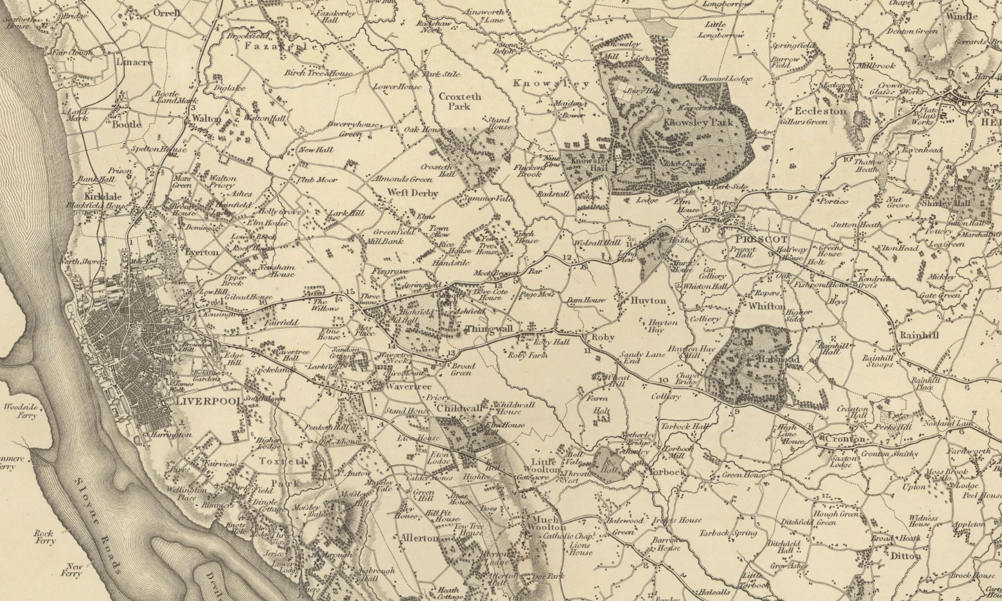
I’m obsessed with the historical geography of this city! This is the combination of maps and historical research that brings to light much of hidden history. History books are all very well, but the Web gives us a chance to explore this geography so easily.
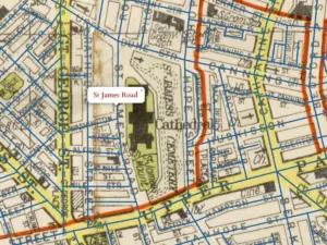
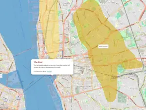
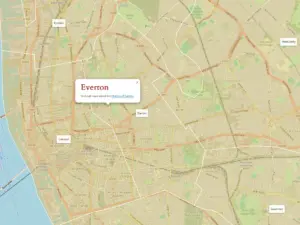
While many maps on this site show Liverpool at a certain point in time, I want to show where features survive, or leave traces. The selection of maps on this page take the modern map as a starting point. Then, overlaid on that, I’ve added layers of information in the form of points of interest and shapes depicting areas. This should help you discover the influence of the past on today’s landscape, and see what survives.
I’m hoping these maps help you research your local or family history. There are tools to search for old streets, even if they don’t exist any more. And the distant past of Merseyside’s natural landscape is explored. The historical geography not only covers hills and valleys, but individual locations where history was played out.
Some of the maps make use of layer scanned and provided by the National Library of Scotland. I hope to add more as time goes by, but these should give you enough to be going on with!