A question came in back in October 2016, looking for information on Paton Street in Kirkdale. I couldn’t find out any information on this myself, as there were few clues. However, Phil D came to the rescue recently with some aerial photos (truly a rarity!) and some maps to locate ourselves with. Go to the comment to see the original question, but the images that Phil sent me are all here.
Paton Street was demolished in 1969. The in-laws of Pauline Evans, who lived there, had to move out when the demolition happened.
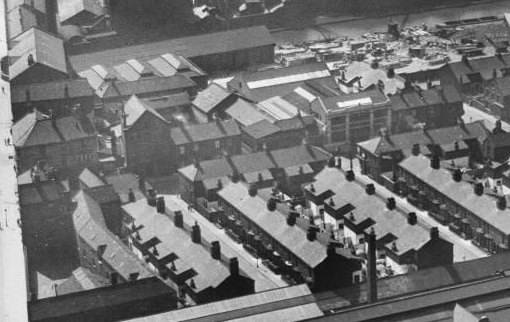
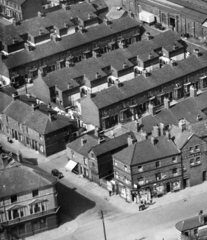
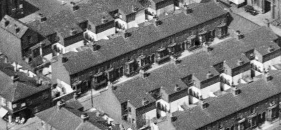
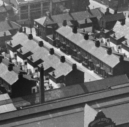
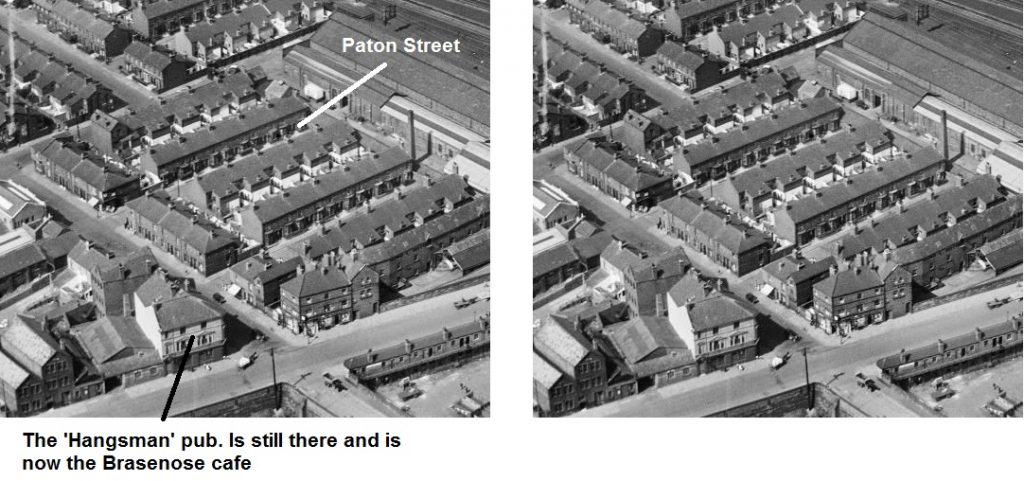
The photos show the classic grid of small Victorian streets, and the Hangsman pub (handily marked!). This building is still there, as the Brasenose Road Cafe. However, the housing has all disappeared, replaced with industrial units.
Click on each one for a larger view.
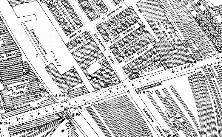

You can see a detailed and interactive map of Paton Street on the National Library of Scotland’s old maps site. You can compare the old map to a modern aerial photograph, side-by-side.
Much of this part of Liverpool consisted of Victorian terraces until the middle of the 20th century. A lot of the houses remain, and this area is unusual in that only part of the landscape was demolished. Other areas not far from Kirkdale saw huge swathes of clearances, such as around Scotland Road and the tunnel entrance.
Aerial photographs were quite a rarity when I wrote this article, but Historic England’s impressive collection of aerial imagery is now available online. There is a small collection of photos of the Bankhall Works of British Ropes Ltd., which evolved from the Globe Works (wire rope and cables) seen in the map above.